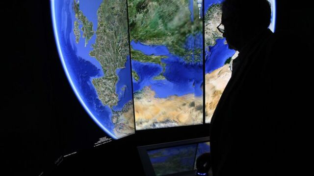
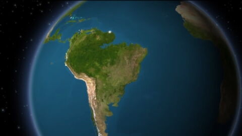
Cities growing in the blink of an eye, glaciers visibly melting, forests ravaged by man. Those are all thing you can now see on Google Earth's YouTube account, but also on your browser. Since 15 April, it is now possible to observe a timelapse of different places on our beautiful planet, the Earth.
Discover our latest podcast
Sadly, these images only reflect the impact of the intensive activities in which humans have been engaged for several decades in an attempt to sustain the modern lifestyle of our ever bloating human population: deforestation, pollution, resource depletion, urbanization, among others.
37 years of degradation and more
This timelapse tool allows you to go back 37 years. A journey through time of almost 40 years during which Man has never ceased to hurt the Earth. One example is deforestation. The timelapse shows the evolution of different forests, especially in Brazil, Bolivia or on the other side of the Atlantic, in Madagascar. Impressive images which show the decline of forests as a result of the presence of man, especially for the cultivation of palm oil. In the middle of this video, Google Earth reminds that 'every minute, an area of tropical trees equivalent to 40 football fields is lost.'
Millions of images and work-hours
To enable the publication of such images, the American firm had to analyse and collect more than 24 million images from satellites since 1984. In total, it took more than 2 million hours of work to make these videos.
For Google, posting these videos of successive images spanning over the course of more than 37 years is a way of making us aware of the climate disruption that we are causing every day.
Timelapse in Google Earth provides a better understanding of Earth's dynamic change.


